To make sure your dream trip goes entirely to plan, you need to start preparations plenty of time in advance. If you are someone who enjoys planning getaways as much as taking them, this post is for you: we are going to tell you all the tips and tricks to help you plan your trip with Google Maps. Keep reading to discover all the functionalities that can help you organise your next holiday.
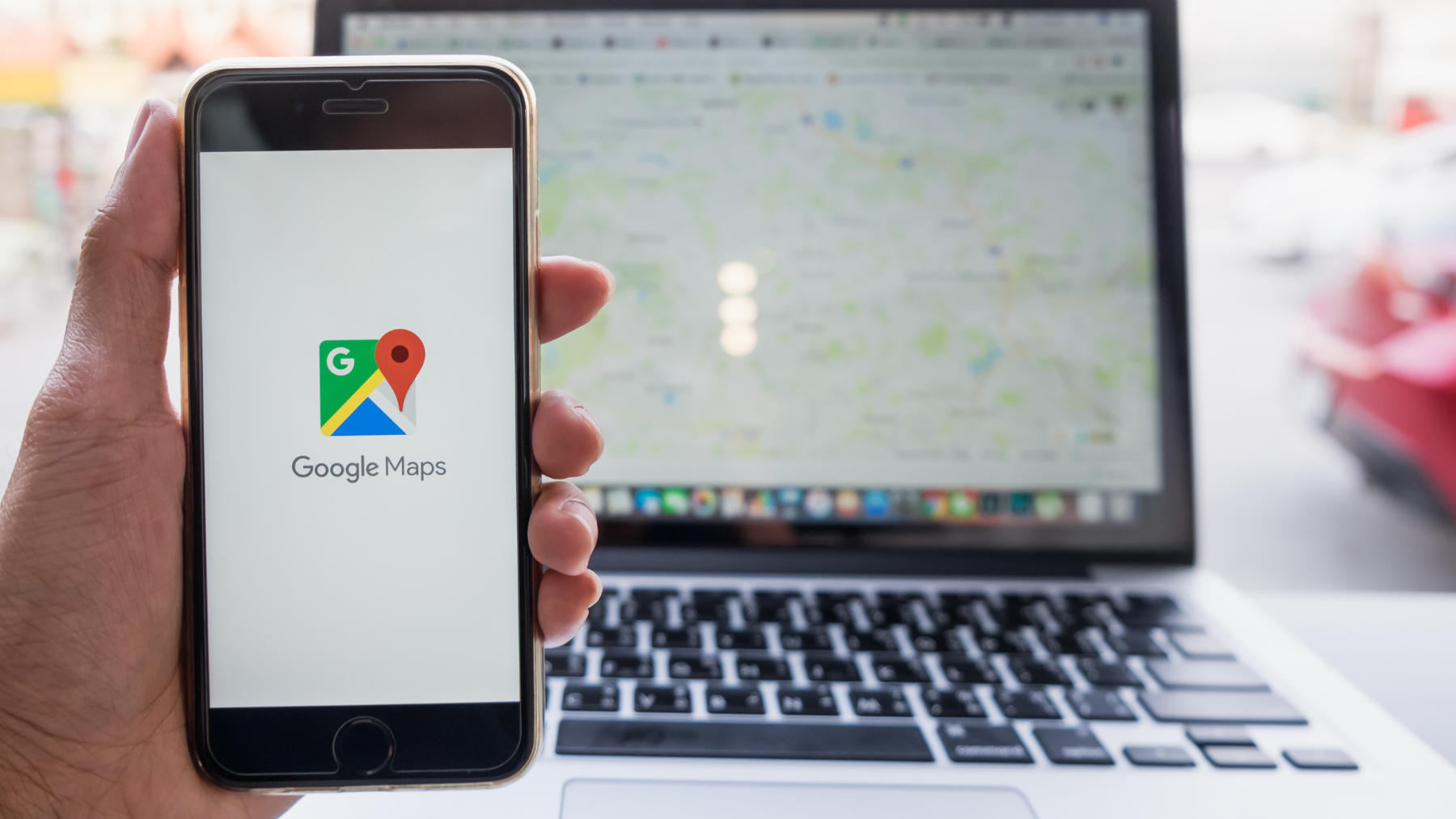
We’re sure that you already know what Google Maps is. But what you perhaps don't know is that it’s much more than a simple maps application that helps you get from A to B along the most direct route. Google Maps is a complete tool that enables you to explore, visit and plan your trips easily and intuitively. Although, as tends to be the case with digital tools, you need to do a little bit of digging to be able to make the most out of all of its functionalities. We are therefore going to tell you everything you need to know about planning your trip with Google Maps.
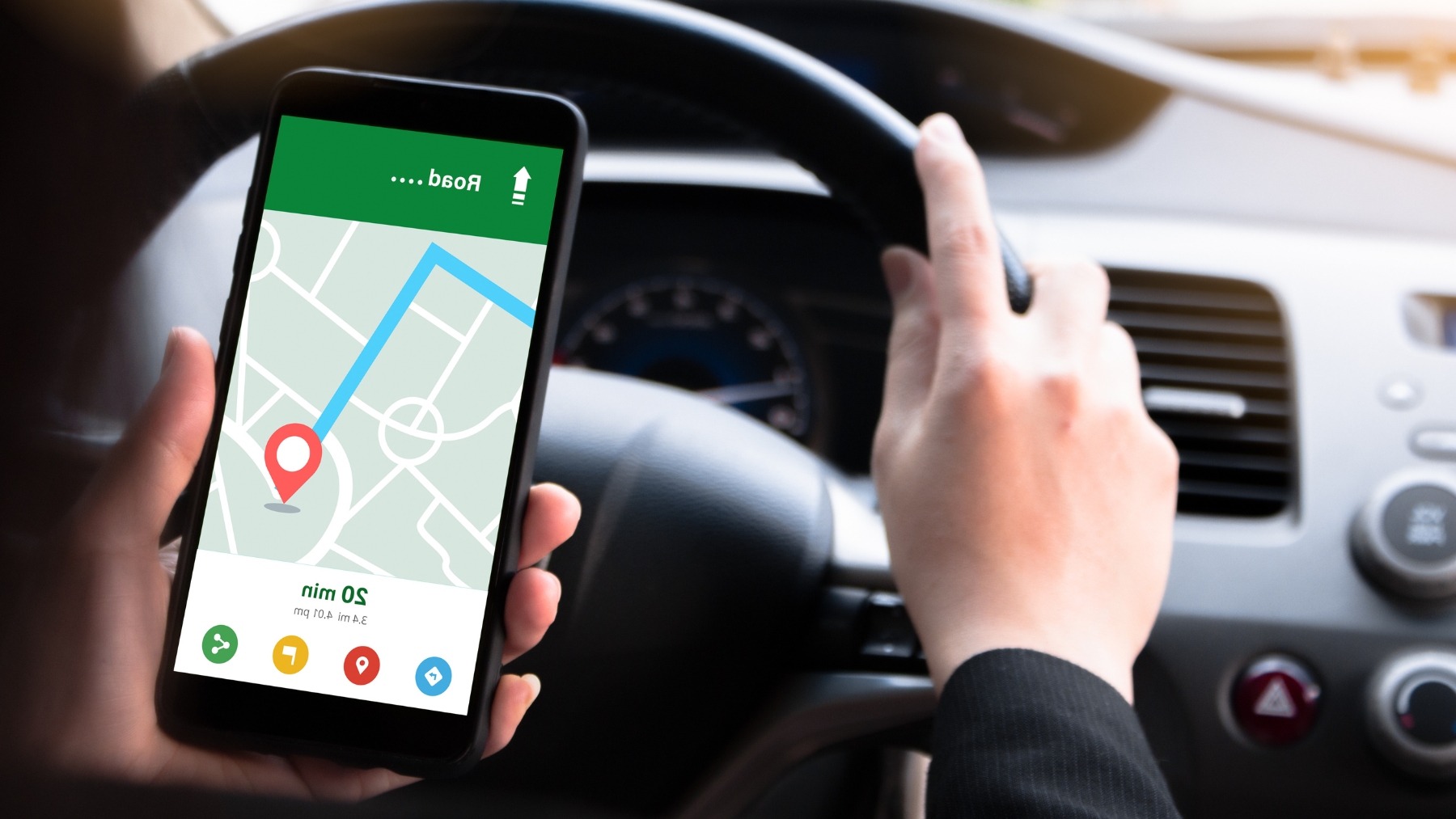
1. Driving mode: Google Maps provides precise directions to help you get from A to B by car. It also shows you the distance and your estimated travel time, as well as real-time information about traffic along the route. This can help you avoid traffic jams and reach your destination faster.
2. Walking or cycling mode: if you’re planning on walking to your destination, Google Maps can provide you with precise directions for your route. It also shows you the distance and your estimated travel time.
3. Public transport mode: and if you are travelling to your destination on public transport, Google Maps will provide information about bus, train, metro and tram routes. It also shows you your estimated arrival time and the price of your journey.
4. Street view: Google Maps gives you a panoramic view of the street and the area surrounding your destination. This tool enables you to familiarise yourself with the area before you get there.

5. Information about nearby places: Google Maps shows you points of interest and places close to your destination, including restaurants, shops, museums and tourist attractions. It also shows you opening and closing hours, prices and the opinions of other users, which is helpful when booking accommodation or restaurants and visiting tourist attractions.
6. Save your favourite places: when planning your trip on Google Maps, a functionality that might be of interest to you is to save your favourite places so you can easily access them in the future. You can also create personalised lists of places to help you plan your trip.
7. Integrated with other Google services: to make it easier to use, Google Maps can be integrated into other Google services including Google Calendar and Google Assistant. This can help you plan your trip efficiently and prevent various problems from arising.
Plan your trip to the Costa del Sol with Google Maps
If you’re thinking about visiting the province of Malaga for your next getaway, Google Maps will become your firm friend when planning your trip. Just follow these instructions:
1. Access Google Maps on your computer or smartphone.
2. Type “province of Malaga” into the search bar. If you already know the town or destination you want to visit, like Marbella, Sierra de las Nieves national park, Ronda, etc., enter it here.
3. Once you have found the destination, click “directions” to receive precise instructions of how to get there.
4. Select your means of transport and Google Maps will provide detailed information about the duration of the journey, distance, price and an estimation of how long it will take you to get there.
5. If you are planning on driving to the Costa del Sol, Google Maps will show you the fastest route, providing real-time information about traffic on the road. You can also use Street View to familiarise yourself with the road before you set off.
6. If, on the other hand, you’re planning on using public transport, Google Maps will provide you information about all the available routes and options as well as times and stops to get you to your destination.
7. You can also explore places close to your destination in the Costa del Sol like restaurants, shops, museums and tourist attractions. Google Maps will show you opening and closing times, prices and the opinions of other users, which will come in handy when planning your visits.
8. Lastly, you can save your favourite places or create a personalised list of sights you want to visit, using the “Save” function. For example, Alcazaba de Málaga, Museo Picasso, Colomares Castle, Alcazaba de Antequera, Tajo de Ronda, and the list goes on.
As you can see, planning your trip with Google Maps is easy and convenient. The tool’s many functionalities, from driving mode to up-to-date information about nearby places, provides you with the information you need to get to your destination quickly and safely, enjoying your getaway from start to finish.
08 March 2023
